Abstract
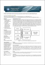
The holistic risk assessment model defines vulnerabilities that may vary depending on the type of hazard inthe urban settlement. This model aims to identify the priority issues that need improving across the entirecity and the spatial distribution of these issues. The paper describes the physical risk assessment phase of themodel. The model emphasizes evaluating natural events such as earthquakes, floods, landslides, and climatic events together. The pairwise comparison method through the literature review has defined the criteria andweights selected for the model, and the susceptibility, vulnerability, and risk mapping are made using aweighted sum model through geographic information systems. Risk size is assigned a numeric value from 1to 5, with 1 being the lowest. In conclusion, the paper provides physical risk distribution mapping ofK & imath;rklareli Central district, the study area, based on each hazard type. The paper also defines the multi-hazardrisk, combining maps with the weighted sum. Accordingly, the paper has demonstrated that approximately80% of the central district settlement is a medium-risk area, and 2.85% is a high-risk area.